Working and living in Dresden
Working and living in Dresden: Your career location for environment, planning and geodata
An overview of the city
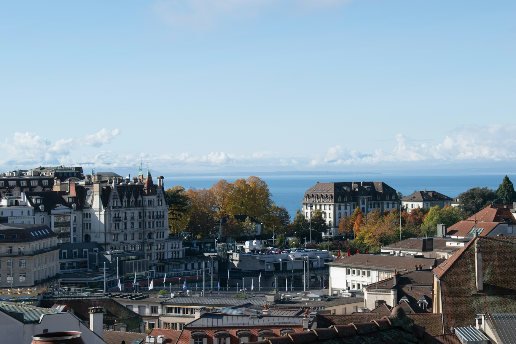
Dresden, the Saxon state capital with around 560,000 inhabitants, uniquely represents the combination of Baroque cultural history with cutting-edge technology and science. The city on the Elbe, often referred to as “Florence on the Elbe”, combines world-famous architecture such as the Frauenkirche and the Zwinger with innovative research facilities and a prosperous high-tech industry. As one of Germany's leading scientific and business locations, Dresden offers ideal conditions for specialists in the fields of environment, planning and geodata. Department of Urban Planning and Mobility Living in Dresden means working in a city that combines historical heritage with a focus on the future and offers an exceptionally high quality of life. Career in Dresden opens up prospects in a dynamic environment between research, public administration and innovative private sector.
Labor market for environmental and planning occupations
The job market in Dresden offers excellent prospects for specialists in the fields of environment, planning and geodata. As the location of the renowned TU Dresden with its Department of Geosciences and HTW Dresden with the Faculty of Geoinformation, the city has developed into an important center for GIS jobs Dresden, geodesy and geoinformatics. Die Dresden city planning benefits from ambitious urban development projects, sustainable mobility and the preservation of the Dresden Elbe Valley UNESCO World Heritage Site. In particular demand are Surveyors Dresden, geoinformatics specialists and Dresden environmental technology specialists, who are involved in innovative digitization and climate adaptation projects.
The Office for Urban Planning and Mobility of the State Capital Dresden employs numerous city planners, spatial planners and traffic planners for the areas of urban development, land use planning and transport planning. Vacancies in Dresden spatial planning can be found both in public administration and at renowned engineering firms and planning companies. Companies such as GUD Dresden offer expertise in geodata management, GIS projects and aerial survey. Geodata Management & Cadastre Dresden: Governance Law, Data Collection, GIS & Geodata The environmental sector is growing steadily, in particular through municipal sustainability initiatives and the implementation of Dresden Landscape Planning. The close integration between research, administration and industry creates a dynamic environment for Geodata jobs Dresden and related professional fields.
Quality of life and infrastructure
Working in Dresden means living in one of Germany's most beautiful cities with an exceptional work-life balance. The cost of living is significantly lower than in Munich, Frankfurt or Hamburg, while at the same time offering attractive salary levels in the public sector and in the growing technology sector. The housing market offers a wide range of options, from old urban quarters in Neustadt to modern districts such as Hafencity or family-friendly districts such as Blasewitz and Striesen. Living in Dresden is particularly attractive for families who want to combine cultural diversity with a high quality of life.
The transport connections are excellent: Dresden Central Station connects the city with Berlin, Prague, Leipzig and other major cities. Dresden Airport provides quick connections to German and European destinations. The modern tram and bus network ensures excellent inner-city mobility. Work-life balance Dresden benefits enormously from the unique location on the Elbe: The Elbe meadows, the Dresden Heath, the Elbe Sandstone Mountains and Saxon Switzerland offer relaxation and leisure opportunities right on the doorstep. Dresden is a cultural highlight with the Semper Opera, the Staatskapelle, the State Art Collections and a lively art and music scene. The historic old town with Frauenkirche, Zwinger and Royal Palace makes Dresden a magnet for those interested in culture and architecture.
career prospects
Dresden's job opportunities are excellent for environmental, planning and geospatial professionals and offer long-term development opportunities in a future-oriented city. TU Dresden, with its Department of Geosciences, is one of the leading German universities in the fields of geodesy, geoinformatics, cartography and geography and offers bachelor's and master's degree programs as well as doctoral opportunities. Startpage Department of Geosciences — Department of Geosciences — TU Dresden +2 HTW Dresden with its Faculty of Geoinformation offers practice-oriented courses in geomatics as well as surveying, cartography and geoinformatics and is considered one of the leading universities of applied geosciences in Germany. Surveying, cartography, geoinformation: HTW Dresden +2
The close network between university, university, administration and business creates ideal conditions for professional exchange and professional development. Numerous master's degree programs, continuing education programs and research projects enable continuous qualification. The job offers for Spatial Planning Dresden and related areas will continue to grow in the coming years as Dresden pursues ambitious goals in the areas of sustainable urban development, digitization and climate adaptation. For qualified specialists, Dresden not only offers an attractive place to work with a high quality of life and moderate living costs, but also the opportunity to work in a city that combines tradition and innovation in a unique way.
Top employers in Dresden
Leading employer for environmental, planning and geospatial occupations in Dresden
Dresden offers a diverse employer landscape for specialists in the fields of environment, planning and geodata. From renowned research institutions to innovative technology companies to traditional authorities — career opportunities for Employer Dresden In the GIS sector, environmental planning and geodesy are exceptionally diverse. The combination of scientific excellence and practical application creates a dynamic environment for professional development in Environmental and Planning Jobs Dresden.
Public employers and authorities
City of Dresden — Office for Urban Planning and Mobility
The Office for Urban Planning and Mobility is responsible for urban planning, urban development and transport planning in Dresden and employs city planners, spatial planners, traffic planners and architects in the areas of land use planning, urban regeneration and transport development. The tasks range from regional planning and overall urban concepts to specific development plans and redevelopment areas. The Office also coordinates mobility planning with a focus on sustainable transport concepts. Die Dresden City Council jobs offer secure career prospects in the public sector with a wide range of design options.
City of Dresden — Office for Geodata and Cadastre
The Office for Geodata and Cadastre is responsible for geodata in administration, for citizens and the economy and operates the “GeoData Dresden” information service and the municipal geographic information system. Surveyors, geoinformatics specialists, surveyors and GIS specialists work here to collect, update and publish geospatial information. The Office is responsible for the real estate register, basic geodata and the provision of geodata via web services. that Dresden Surveying Office offers modern workplaces at the interface of surveying and IT.
State Capital Dresden — Environment Agency
The Dresden Environment Agency advises citizens and companies on the protection of natural resources and is responsible for nature conservation, water protection, soil protection, pollution control and climate protection. dresdendresden The Department of Urban Ecology with the Department of Landscape and Environmental Planning deals with topics such as landscape planning, noise reduction, urban climate and climate adaptation. SG Landscape and Environmental Planning Environmental engineers, landscape planners, biologists, conservationists and climate protection managers find a wide range of tasks here to protect and develop the urban environment. that Dresden Environment Agency also coordinates the implementation of the Dresden Landscape Plan.
City of Dresden — Building Supervision Office
The building inspectorate performs the tasks of the lower building inspectorate with the areas of approval procedures, construction supervision and building supervisory measures. Building Supervision Office Here, civil engineers, architects and administrative lawyers review building applications, monitor construction projects and enforce building regulations.
private companies
GUD Dresden — Geodata Management & Environmental Monitoring
GUD Dresden is a competent partner in the areas of geodata management, environmental monitoring and aerial survey and develops comprehensive concepts for GIS and cadastral projects as well as topographical information through multispectral flights, photogrammetric evaluation and measurement. Geodata Management & Cadastre Dresden: Governance Law, Data Collection, GIS & Geodata The company offers services in geodata management, the administration of geodata via geoportals, management law registers and environmental data collection. GIS specialists, geoinformatics specialists, photogrammetry experts and surveyors work on innovative projects for municipalities and companies. GUD Dresden is a leader GIS service provider Dresden.
MEP Plan GmbH — Nature Conservation, Forest and Environmental Planning
MEP Plan GmbH is a medium-sized engineering firm in the areas of nature conservation, forest and environmental planning based in Dresden and offers services ranging from mapping and planning to implementation and monitoring with a focus on landscape planning, faunistic mapping, species protection and forest planning. Landscape planners, biologists, ecologists, forest scientists and environmental experts prepare landscape conservation accompanying plans, species protection reports, FFH compatibility studies and forest reports here. that Dresden Engineering Office works primarily in Central Germany for companies and public clients.
WKP Planning Office for Construction
The WKP planning office has specialized in environmental and civil engineering topics for over 10 years and prepares expert reports for approval and planning law procedures as well as ecological construction supervision. WKP-DresdenWKP-Dresden Environmental engineers, civil engineers and environmental planners work on infrastructure projects and support construction projects in all planning phases. The office offers comprehensive services from basic assessment to the approval of compensatory measures.
PRO Dresden — Landscape Planning Office
PRO Dresden, led by graduate horticultural engineer Frank Seifert, has been working as a service provider in environmental, construction management and landscape planning in Saxony for over 20 years and uses AutoCAD Map and DATAflor LANDXPERT for computer-aided inventory collection. PRO Dresden — Landscape Planning Office, Frank Seifert Landscape architects, horticultural engineers and environmental planners create landscape plans, construction plans and open space planning with a focus on professional mapping and data research.
ENGINEER CONSULT GmbH
In the field of environmental planning, INGENIEUR-CONSULT GmbH offers interdisciplinary services for practice-oriented environmental and landscape planning with a focus on environmental studies, reports and documents for approval and planning processes. INGENIEUR-CONSULT GMBH | Environmental Planning Environmental planners, landscape architects and biologists advise clients on everything from location identification to intervention regulation and technical support in approval processes.
Langenbach Engineering Office — Dresden branch
With 20 employees in Dresden, the Langenbach engineering office is active in the areas of road, environmental and transport planning, surveying and hydraulic engineering. Project engineers for environmental planning, traffic planners and surveyors are working here on the future of infrastructure in Dresden and the surrounding area with flexible working hours and home office options.
itwh GmbH — Institute of Technical-Scientific Hydrology
With over 70 employees, the Institute of Technical-Scientific Hydrology works on sophisticated engineering projects in the fields of urban hydrology and urban drainage and develops specialized software with a focus on general drainage planning, heavy rain risk management and near-natural stormwater management. Here, civil engineers, hydrologists, environmental engineers and software developers design sustainable solutions for urban living spaces.
Research and education
TU Dresden — Department of Geosciences
The Department of Geosciences at TU Dresden is part of the Faculty of Environmental Sciences and combines geodesy, geoinformation technologies, cartography, photogrammetry, remote sensing and geography with five institutes, 13 professorships and around 100 employees. TU DresdenTU Dresden The Department of Geography offers bachelor's and master's degree programs as well as teacher training with five professorships in physical geography, human geography, landscape ecology and geography didactics. Scientific staff, doctoral students and postdocs are researching a wide range of topics from geodesy and remote sensing to urban and landscape development. Die TU Dresden Geography offers excellent research and teaching conditions.
HTW Dresden — Faculty of Geoinformation
The Faculty of Geoinformation at HTW Dresden is one of the leading universities of applied geosciences and offers bachelor and master courses in geomatics as well as surveying, cartography and geoinformatics with strong practical relevance. Surveying, cartography, geoinformation: HTW Dresden +2 Professorships such as those for geodesy and BIM, engineering surveying, photogrammetry and cartography offer application-oriented research and teaching. BIM Geodesy Surveying GIS: HTW Dresden Scientific staff, lecturers and doctoral students work on innovative projects on BIM, 3D surveying, GIS applications and geoinformation systems. Die HTW Dresden Geoinformation has an excellent reputation in the industry.





.avif)

