Geo Jobs: The comprehensive guide for employers in the DACH region
Why geojobs are more important today than ever
The job market for geo-specialists is booming. Climate change, rapid urbanization, digitization and the expansion of renewable energy sources create an unprecedented demand for specialists who work with geodata, environmental protection and spatial planning. At the same time, many employers are struggling with an acute shortage of skilled workers in this area.
Geo jobs cover a wide range: from GIS analysts and surveyors to urban planners and environmental consultants to experts in renewable energy and remote sensing. These professionals are no longer “niche workers” — they are key players for sustainable development, modern infrastructure and data-driven decisions.
For employers, this means: If you want to attract the best geospecialists today, you need to know where and how to reach them. This guide shows you which geo jobs are available, where your target group can be found, and how to design your job advertisements so that qualified candidates apply.
An overview of the 13 most important areas for geojobs
The geo-labor market is diverse. In order to find the right specialists, employers should understand which specializations exist and which competencies are required in the various areas.
Overview: Geo jobs by subject
| Branche |
Worum geht's / Wo liegen die Chancen |
| Geoinformatik / Geomatik |
Arbeit mit digitalen Geodaten: Datenmanagement, Kartographie, Datenbanken, Analyse räumlicher Informationen. Ideal für Menschen, die Technik, Software und räumliche Daten verbinden wollen. |
| Geodäsie & Vermessung |
Präzise Vermessung von Landschaft, Grundstücken und Infrastruktur — mit GNSS, Geländeaufnahmen und Katasterarbeit. Für alle, die Vermessung, Landinformation und Landschaft genau und technisch lieben. |
| GIS (Geoinformationssysteme) |
Verarbeitung und Auswertung räumlicher/geographischer Daten, Visualisierung als Karten oder Kartenanwendungen. GIS wird zum Beispiel in Stadt- & Raumplanung, Umwelt- und Ressourcenmanagement oder Risikobewertung eingesetzt. |
| Stadt- & Raumplanung |
Planung und Gestaltung von Städten, Regionen und Gemeinden — nachhaltige Raumnutzung, Infrastrukturentwicklung, urbanes Wachstum steuern und mitgestalten. |
| Verkehrsplanung |
Mobilitäts- und Infrastrukturplanung — etwa öffentlicher Nahverkehr, Rad- und Fußverkehr, Verkehrsflüsse und nachhaltigen Verkehr mitdenken. In Zeiten von Klimawandel und Mobilitätswende zunehmend relevant. |
| Umwelt & Naturschutz |
Arbeit im Umweltmanagement, Naturschutz, Landschaftspflege, Umwelttechnik oder Umweltplanung — für alle, die Natur, Biodiversität und Nachhaltigkeit mit Beruf verbinden wollen. |
| Hydrologie / Wasser- & Gewässermanagement |
Wasserressourcen, Grundwasser, Gewässerschutz, Hochwasserschutz und nachhaltige Wasserwirtschaft — Aufgaben, die angesichts von Klimawandel und Umweltbelastung immer wichtiger werden. |
| Klimaschutz & Klimawandel |
Tätigkeiten rund um Nachhaltigkeit, Energieeffizienz, Klimapolitik und Umweltprojekte — im Kontext globaler Klimaziele und wachsender Nachfrage nach Fachkräften für Klimaschutz. |
| Erneuerbare Energien |
Fokus auf Energie der Zukunft: Solar, Wind, Geothermie u.a. — Schnittstelle zwischen Technik, Umwelt und Planung. Besonders spannend für Menschen, die Umweltbewusstsein, Technik und Infrastruktur verbinden möchten. |
| Geologie / Geowissenschaften |
Boden, Gesteine, Rohstoffe, Umweltgeologie — von Rohstoffmanagement bis Umweltgefahren, geologisches Monitoring und Erd-/Naturprozesse. Für alle, die ein tiefes Verständnis für Erde und Umwelt mitbringen. |
| Fernerkundung / Remote Sensing |
Nutzung von Satelliten- oder Luftbild- bzw. Sensordaten zur Analyse der Erdoberfläche, Umweltmonitoring, Stadt- oder Landschaftsanalyse — eine Schnittstelle zwischen Geo, Umwelt und Technologie. |
| Entwicklung & Soziales |
Kombination aus räumlicher Planung, Umwelt/Nachhaltigkeit und sozialer Entwicklung — z. B. nachhaltige Stadtentwicklung mit Fokus auf soziale Gerechtigkeit, Umweltgerechtigkeit und Lebensqualität. |
| Weitere Geo-Bereiche / Spezialist:innen & Nischen |
Für spezialisierte oder interdisziplinäre Profile, die nicht klar in eine der Standard-Kategorien fallen — z. B. Forschung, Schnittstellenbereiche, Quereinsteiger:innen oder sehr spezialisierte Geo-Jobs. |
This overview shows: Geo jobs are interdisciplinary. Many specialists work at interfaces — such as GIS experts with an environmental background or urban planners with knowledge of transport planning. Employers should therefore not search too closely, but should also consider hybrid profiles.
Why the shortage of skilled workers at Geo Jobs is increasing
1. Digitalization and geodata boom
More and more industries rely on spatial data: real estate, logistics, energy suppliers, authorities, insurance companies. The demand for GIS Jobs and Geoinformatics jobs rises continuously. According to industry reports, the demand for GIS specialists is growing by 8-12% annually.
What this means for employers:
- GIS experts are highly sought after and often have multiple job offers
- Salaries are rising faster than in other IT areas
- Remote work makes competition even tougher (supra-regional competition)
2. Climate change and sustainability goals
The global climate crisis and national sustainability goals (e.g. Germany's climate neutrality by 2045) create an enormous need for Environmental jobs, Climate protection jobs and experts for renewables. NGOs, authorities, engineering firms and energy companies are desperately looking for qualified personnel.
What this means for employers:
- Candidates are increasingly voting based on meaningfulness and impact
- Purpose-driven employer branding becomes a competitive advantage
- Competition from the public sector (environmental agencies, ministries)
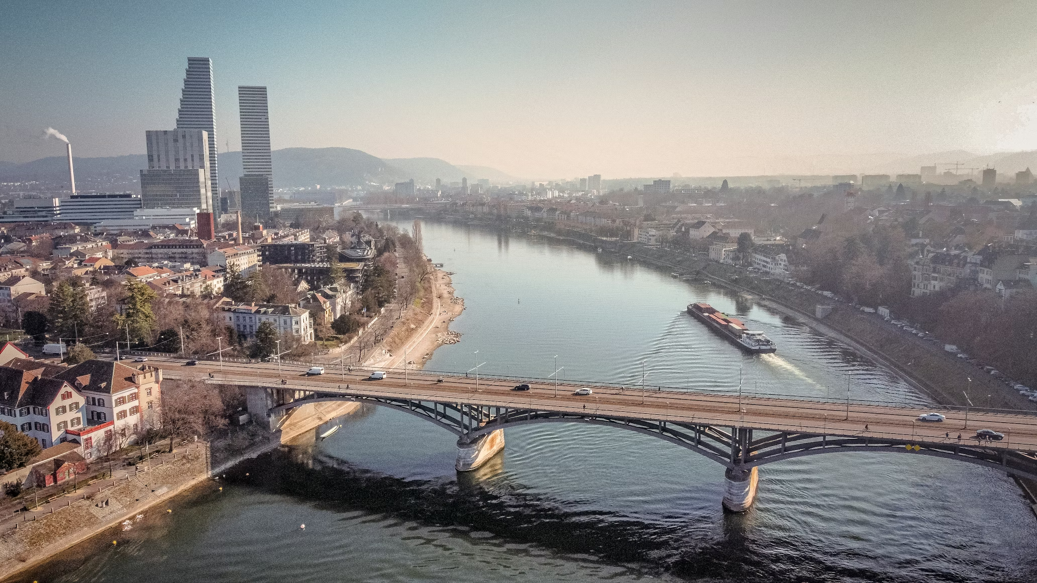
3. Urbanization and infrastructure expansion
By 2050, 68% of the world's population will live in cities. In Germany, Austria and Switzerland, this means massive investments in infrastructure, housing and transport systems. Urban planning jobs, Transport planning jobs and Surveying jobs are more popular than ever.
What this means for employers:
- Public sector competes with private sector for the same talent
- Projects are becoming more complex → demand for specialized specialists is increasing
- Interdisciplinary teams become standard (planner + GIS + environment)
4. Too few new talent, too many vacancies
Although courses such as geoinformatics, geodesy, urban planning or environmental sciences exist, there is not enough young talent to meet demand. Many graduates have several job offers even before graduation.
What this means for employers:
- Establish contact with universities and students at an early stage
- Use internships and working student positions as a recruitment channel
- Actively address career changers from related subjects (geography, computer science, civil engineering)
For employers: How to find the best geo-specialists
1. Use specialized job boards instead of generalist portals
The problem with StepStone, Indeed & Co.:
- Your job ad goes down among thousands of general jobs
- You reach many unqualified applicants but few geo-specialists
- High costs per ad with no guarantee of suitable applications
The solution: niche job boards like GoGeoGo
GoGeoGo is the leading job board for geo jobs in the DACH region. Here you can find:
- Accurate range: Only professionals with a geo-background visit the platform
- 13 subject categories: From GIS jobs to hydrology — your ad reaches just the right target group
- Attractive prices: One-time purchase from 149€, no hidden costs or success fees
- Higher application quality: Candidates are specifically looking for geojobs, not just any job
Practical tip:Place your job ad on GoGeoGo and reach thousands of qualified job seekers every month who are actively searching for GIS jobs, environment jobs or urban planning jobs.
👉 Post a job ad now
2. Target regional hotspots
Not all geo-specialists are evenly distributed. Certain cities have a higher concentration of geo-talent:
Top cities for geojobs in Germany:
- Munich: Strong GIS and environmental scene (TU Munich, Esri Germany, many engineering offices)
- Berlín: Startups, government agencies, NGOs — a wide range of geojobs
- Hamburg: Urban planning, traffic planning, port logistics with GIS
- Dresden: TU Dresden (geodesy, geoinformatics) — strong young talent
- Bonn: Federal agencies, UN organizations, environmental NGOs
- Stuttgart: Automotive + GIS, urban planning, traffic engineering
- Cologne: Environment, planning, authorities
- Frankfurt: Financial sector + GIS, real estate industry
- Karlsruhe: KIT, geoinformatics, surveying
Top cities in Austria:
- Vienna: Largest market, authorities, planning offices, tech companies
- Graz: TU Graz (geodesy), strong geo-community
- Salzburg: Environment, tourism + GIS, nature conservation
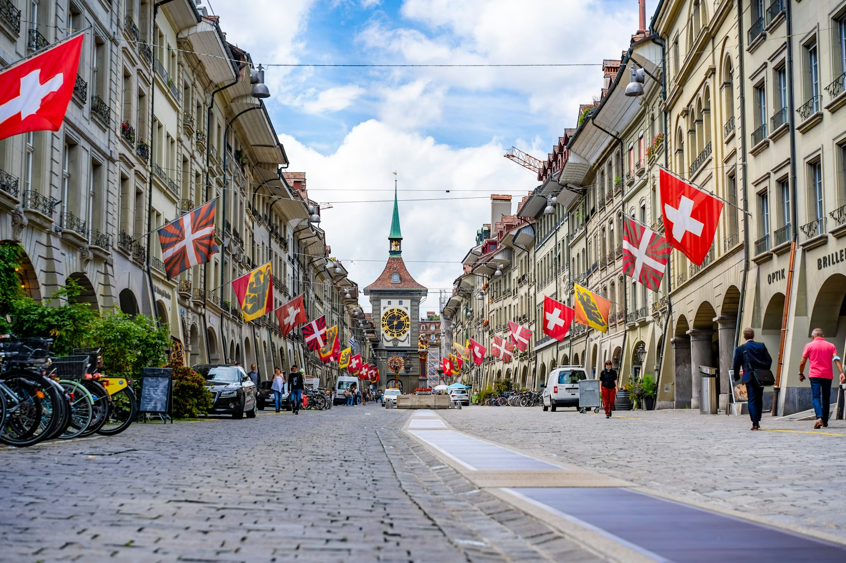
Top cities in Switzerland:
- Zurich: ETH Zurich, GIS companies, financial sector with geodata
- Berne: Federal Administration, Swisstopo, Federal Environment Agency
- Lausanne: EPFL, remote sensing, international organizations
What this means for your job ad:
- Mention the city/region in the ad title (e.g. “GIS Analyst (m/f/d) in Munich”)
- Use regional landing pages on job boards (e.g. GIS Jobs Munich)
- Offer remote options to reach talent outside your region
3. Writing the right job ad: What geo-professionals really want
Typical errors in geo-job ads:
- ❌ Too general: “Looking for an environmental engineer” (which specialization?)
- ❌ Unrealistic requirements: “5 years of experience in 10 different GIS tools”
- ❌ No visible impact: “Data analysis” instead of “Your analyses protect drinking water for 500,000 people”
- ❌ Lack of remote information: In 2025, almost all geospecialists expect at least hybrid work
Successful geo-job ads include:✅ Clear specialization: “GIS developer Python/ArcGIS” instead of “GIS expert” ✅ Impact & Purpose: What does the work do? (climate protection, sustainable cities, nature conservation) ✅ Transparent tech stack: Which software? (QGIS, ArcGIS, PostgreSQL/PostGIS, Python, R?) ✅ Remote/hybrid options: 2-3 days home office is standard today ✅ Salary range: Transparency increases application rate by 30-50% ✅ Development opportunities: Continuing education, conferences, certifications
Practical example of a good ad:
GIS Analyst (m/f/d) Environmental Planning — Munich (hybrid)
You develop spatial analyses for nature conservation projects throughout Bavaria. With Python, QGIS and PostgreSQL/PostGIS, you help authorities and NGOs protect biodiversity and plan sustainable land use.
What you're doing:
- Geodata analysis for environmental reports and FFH areas
- Development of automated workflows (Python/QGIS)
- Map creation and visualization for stakeholders
What you bring with you:
- Studied geoinformatics, environmental sciences, geography, etc.
- Very good QGIS or ArcGIS skills
- Basic Python skills (we support your continuing education!)
What we offer:
- 50,000 - 60,000€ annual salary (depending on experience)
- 3 days home office/week
- 1.500€ continuing education budget/year
- Meaningful work with a direct impact on nature conservation
👉 Apply now and protect Bavaria's nature with geodata!
4. Use universities and trade associations as recruiting channels
Top universities for geo-professionals:
Germany:
- TU Munich (geodesy, environment, GIS)
- TU Dresden (geodesy, remote sensing)
- University of Münster (geoinformatics, landscape ecology)
- University of Bonn (geodesy, geography)
- KIT Karlsruhe (Geoinformatics)
- HFT Stuttgart (surveying, geomatics)
- Beuth University Berlin (Geoinformation)
- TU Berlin (urban and regional planning)
Austria:
- TU Wien (geodesy, geoinformation)
- TU Graz (geodesy)
- BOKU Wien (landscape planning, environment)
Switzerland:
- ETH Zurich (Geomatics, Spatial Development)
- EPFL Lausanne (Environment, Remote Sensing)
- FHNW (geomatics)
How to use universities for recruiting:
- Contact Career Services and post ads on university job boards
- Offer internships, working student jobs, and theses
- Sponsoring of student council events or GIS competitions
- Use alumni networks (e.g. LinkedIn groups of geo-study programs)
Important trade associations and communities:
- DDGI (German Society for Geoinformatics)
- DVW (German Surveying Association)
- DWA (German Association for Water Management)
- SRL (Association for Urban, Regional and Regional Planning)
- DGPF (German Society for Photogrammetry and Remote Sensing)
Tip: Many trade associations offer cheap job newsletters or job boards. Some work with job boards like GoGeoGo.
5. Remote work as a competitive advantage
The reality of 2025: Geo professionals — particularly GIS experts, remote sensing specialists, and data analysts — can often work completely remotely. Employers who insist on 100% presence lose applications massively.
Our recommendation:
- At least 2-3 days home office/week tenders
- For pure analysts/developers: Full remote with occasional team meetings enable
- Communicate clearly: “We are a hybrid team” creates trust
Exceptions: For jobs that require field work (surveying, environmental monitoring, construction site inspections), presence is of course necessary — but here too: office work can take place remotely.
Geo-sector salaries: What do employers have to offer?
A common reason for failed recruitments: unrealistic salary expectations from employers. Many companies underestimate what geo-professionals earn today.
Average salaries for geojobs in Germany (2025)
Position Entry (0-2 years) Mid-level (3-7 years) Senior (8+ years)GIS analyst42,000 - 52,000 €52,000 - 68,000 €68,000 - 85,000€GIS developer48,000 - 58,000 €58,000 - 75,000 €75,000 - 95,000€Geodesist/Surveyor45,000 - 55,000 €55,000 - 70,000 €70,000 - €90,000city planner40,000 - 50,000 €50,000 - 65,000 €65,000 - €82,000environmental engineer42,000 - 52,000 €52,000 - 67,000 €67,000 - 85,000€Remote Sensing Expert45,000 - 55,000 €55,000 - 72,000 €72,000 - €90,000Traffic planner43,000 - 53,000 €53,000 - 68,000 €68,000 - €84,000Hydrologist/Water protection42,000 - 52,000 €52,000 - 68,000 €68,000 - 86,000€
Factors that affect salaries:
- Region: Munich, Frankfurt, Zurich pay 10-20% more than rural regions
- sector: Tech companies often pay better than NGOs or small planning offices
- Skills: Python, PostgreSQL, cloud GIS (ArcGIS Online, Google Earth Engine) increase salary by 5-15%
- Public service: Mostly TVöd/TV-L — transparent, but often among the private sector
Tip for employers:
- If you pay below market salary, you lose 80% of qualified applicants
- Transparency pays off: State a salary range in the ad
- Alternative: Offer other benefits (continuing education, conference visits, sabbaticals, impact projects)
The most common mistakes when recruiting geo-specialists
Mistake 1: Looking for “egg-laying woolly milksow”
Typical requirement:
“We're looking for a GIS expert with experience in ArcGIS, QGIS, PostgreSQL, Python, R, JavaScript, urban planning, environmental engineering, and project management. 3 years of experience required.”
Reality: Such all-rounders are rare, and when they do, they cost 80,000+ euros.
Better: Focus on 2-3 core competencies and offer continuing education for the rest.
Mistake 2: Application processes that are too long
The problem: Geo professionals often have several offers. If you need 6 weeks to get back to you, you lose talent to faster competitors.
Better:
- First feedback within 3-5 working days
- A maximum of 2-3 rounds of talks
- Quick decision after final interview (48-72 hours)
Mistake 3: Lack of career prospects
The problem: Many small planning offices or authorities offer few career opportunities. A no-go for ambitious professionals.
Better:
- Demonstrate clear development paths (Junior → Project Manager → Team Lead)
- Offer continuing education budget (e.g. GIS certificates, conferences)
- Possibility to specialize or change topics internally
Mistake 4: Bad employer brand in the geo-sector
The problem: Geo professionals do their research before applying. If your website is out of date, doesn't show projects, or doesn't have employee testimonials, you look unattractive.
Better:
- Publish case studies of exciting projects
- Introduce the team (photos, interviews)
- Be active on LinkedIn (project updates, technical contributions)
- Be present at events (FOSSGIS conference, Intergeo, GIS round tables)
Career changers and hybrid profiles: Underestimated talent pools
Why career changers are often the better choice
Many employers are only looking for “classic” geo-profiles (geoinformatics studies, 5 years of GIS experience). Yet there are huge talent pools that are overlooked:
Computer scientists with spatial interest:
- Can Python, SQL, cloud technologies
- Missing: GIS theory (but easy to learn!)
- Advantage: Bring software engineering standards
Geographers with data affinity:
- Intuitively understand spatial relationships
- Missing: programming (but motivated to learn!)
- Advantage: Strong analytical and communication skills
Civil engineers with CAD experience:
- Accustomed to working with spatial data
- Missing: GIS-specific tools (but CAD skills transferable!)
- Advantage: Understanding infrastructure and construction projects
Environmental scientists with statistical knowledge:
- Can R, data analysis, scientific work
- Missing: GIS practice (but often discussed during studies!)
- Advantage: domain knowledge in environment/climate
Recommendation for employers:
- Write “career changers welcome” in the ad
- Offer onboarding with GIS training
- Evaluate Transferable Skills (Python > GIS Tool XY)
Trends 2025-2030: What employers should be prepared for
1. Cloud GIS becomes standard
What that means:
- Professionals no longer only need to know ArcGIS Desktop, but also ArcGIS Online, Google Earth Engine, CARTO
- Remote work is becoming even easier (everything runs in the browser)
- Recruiting focus is shifting: web development + GIS = popular combination
2. AI and machine learning in geo-applications
What that means:
- Geodata + AI = new professional fields (e.g. “geo-data scientist”)
- Remote sensing is automated (deep learning for satellite images)
- Employers need professionals who understand both GIS and ML
3. Sustainability as a duty, not a freestyle
What that means:
- Every company will need ESG reporting → Demand for environmental GIS
- CO₂ footprint calculations require spatial analyses
- Geo experts become sustainability consultants
4. Employers must offer purpose
What that means:
- Top talents choose jobs based on impact, not just salary
- “We do geo-analyses for insurance companies” < “We save coral reefs with remote sensing”
- Employer branding must show how geojobs make the world a better place
Checklist: This is how you are guaranteed to find the best geospecialists
✅ Post a job ad on specialized platforms (e.g. GoGeoGo)
✅ State salary range transparently (increases applications by 30-50%)
✅ Offer remote/hybrid option (otherwise you lose 60% of candidates)
✅ Communicate impact clearly (What does the work do?)
✅ List tech stack (Which software is used?)
✅ Welcoming career changers (increase talent pool)
✅ Contact universities (career services, working students, internships)
✅ Quick application process (First feedback in 3-5 days)
✅ Provide continuing education (budget for conferences, certificates)
✅ Maintain employer brand (website, LinkedIn, case studies)
Frequently asked questions (FAQ) for employers
Where can I find the best geospecialists?
Specialized job boards such as GoGeoGo offer the highest accuracy. In addition: university networks, professional associations (DDGI, DVW), LinkedIn groups and GIS conferences (FOSSGIS, Intergeo).
How much do GIS analysts earn in Germany?
Beginners: 42.000-52,000 €, mid-level: 52.000-68,000 €, senior: 68,000-85,000 €. In Munich and Frankfurt, 10-20% higher.
Do I have to offer remote work?
Yes. In 2025, almost all geo-professionals expect at least 2-3 days of home office per week. Without a remote option, you lose 60% of qualified applicants.
How long does it take to fill a geo-position?
2-4 months on average. For very specialized positions (e.g. remote sensing with deep learning) up to 6 months. Tip: Faster process and clear display shorten time-to-hire.
Can I also hire career changers?
Absolutely! Computer scientists, geographers, civil engineers or environmental scientists with an interest in geo-topics are often excellent candidates. Offer onboarding with GIS training
How much does a job ad on GoGeoGo cost?
Starting at 149€ for a 30-day Classic ad. Premium options available for higher visibility. No hidden costs, no success fees.
Which GIS software should I name in the ad?
Be specific: “ArcGIS Pro”, “QGIS”, “PostgreSQL/PostGIS”, “Python (geopandas, shapely)”, “Google Earth Engine”, etc. Candidates can better assess whether they are a good fit.
How important are certificates (e.g. Esri certification)?
For beginners: helpful but not mandatory. For experienced specialists: Practical experience counts more than certificates. Tip: Offer to pay for certifications — strong benefit!
Should I gender in the ad?
Yes Use (m/f/d) or gender-neutral phrases. Studies show: Inclusive language increases applications from women by 20-30%.
How do I appeal to young geo-talents?
- Post authentically to Linkedin/Instagram
- Show projects with impact (climate protection, nature conservation)
- Emphasize flexible working models
- Provide continuing education and conferences
- “We're on first-name terms” can be an advantage (depending on the industry)
Conclusion: Recruiting geo jobs in a targeted manner — this is how employers will win in 2025
The market for geo-specialists is an employee market. Anyone who wants to recruit qualified GIS analysts, urban planners, environmental engineers or remote sensing experts today must:
- Choose the right platform: Specialized job boards such as GoGeoGo instead of generalist portals
- Communicate transparently: Clearly state salary range, tech stack, remote options
- Show impact: What difference does work make? (climate protection, sustainable cities, nature conservation)
- Be flexible: Remote work, continuing education, career changers — anyone who is open wins
- Act quickly: Application processes under 4 weeks, otherwise talent will drop out
The good news: Geo professionals are highly motivated to do meaningful work. As an employer, if you offer purpose, development and fair conditions, you will attract the best talent.
Find geo-specialists now — with GoGeoGo
GoGeoGo is the leading job board for geojobs in Germany, Austria and Switzerland. Thousands of qualified specialists visit the platform every month — from GIS analysts to city planners to environmental engineers.
Why employers use GoGeoGo:
✅ Accurate: Only geo-specialists, no wastage
✅ 13 subject categories: From GIS jobs to hydrology — your ad reaches the right target group
✅ Regional reach: City pages for Munich, Berlin, Hamburg, Vienna, Zürich and 15+ other cities
✅ Attractive prices: Starting at 149€ per ad, no hidden costs
✅ Higher application quality: Candidates search specifically for geojobs
Next step:
👉 Post a job ad on GoGeoGo
👉 Browse geojobs by subject
Any more questions? Contact us directly via the website — we'll help you find the best geo-professionals for your team.


.avif)


.avif)