+500 new subscribers
Looking for Jobs?
By signing up, you agree to our privacy policies you can find on our website.
Perfect! We'll keep you up to date about current jobs from now on!
Oops! That didn't work out.
+500 new subscribers


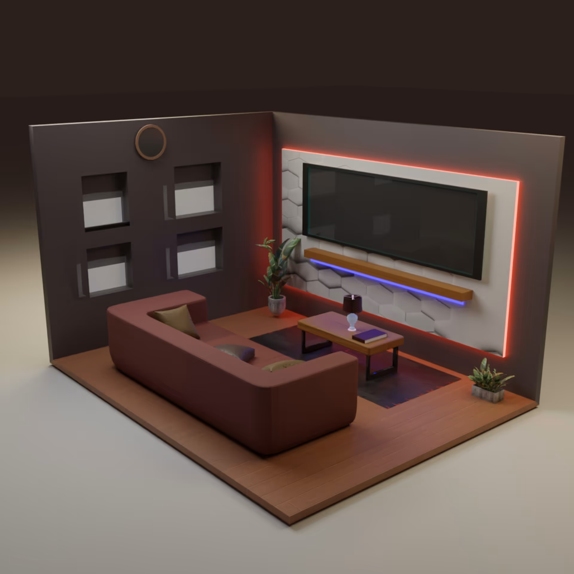
Photogrammetry software transforms images into precise geodata — the basis for surveying, construction/BIM, environmental projects and drone mapping. This guide shows you Basics, workflows and fields of application, explained selection criteria for the right software and illuminates Hardware and integration issues.
For applicants, we deliver specific skill profiles, typical job roles and portfolio tipsso that you present your projects convincingly and score points in the application process.
photogrammetry converts 2-D images into precise 3-D geometry. Especially through triangulation, structure-from-motion (sFM) and multi-view stereo (MVS). Several overlapping images become common pixels (tie points) detected, camera positions estimated (sFm) and then generated dense geometry (MVS). It is important for users and applicants to know that modern tools automate these steps, but Understanding camera calibration, overlapping, and georeferencing presuppose.
The most important output formats are orthophoto, point cloud, DSM/DTM and 3D mesh. Each has clear use cases.
A standardized end-to-end workflow: Recording → Registration → Reconstruction → Evaluation.
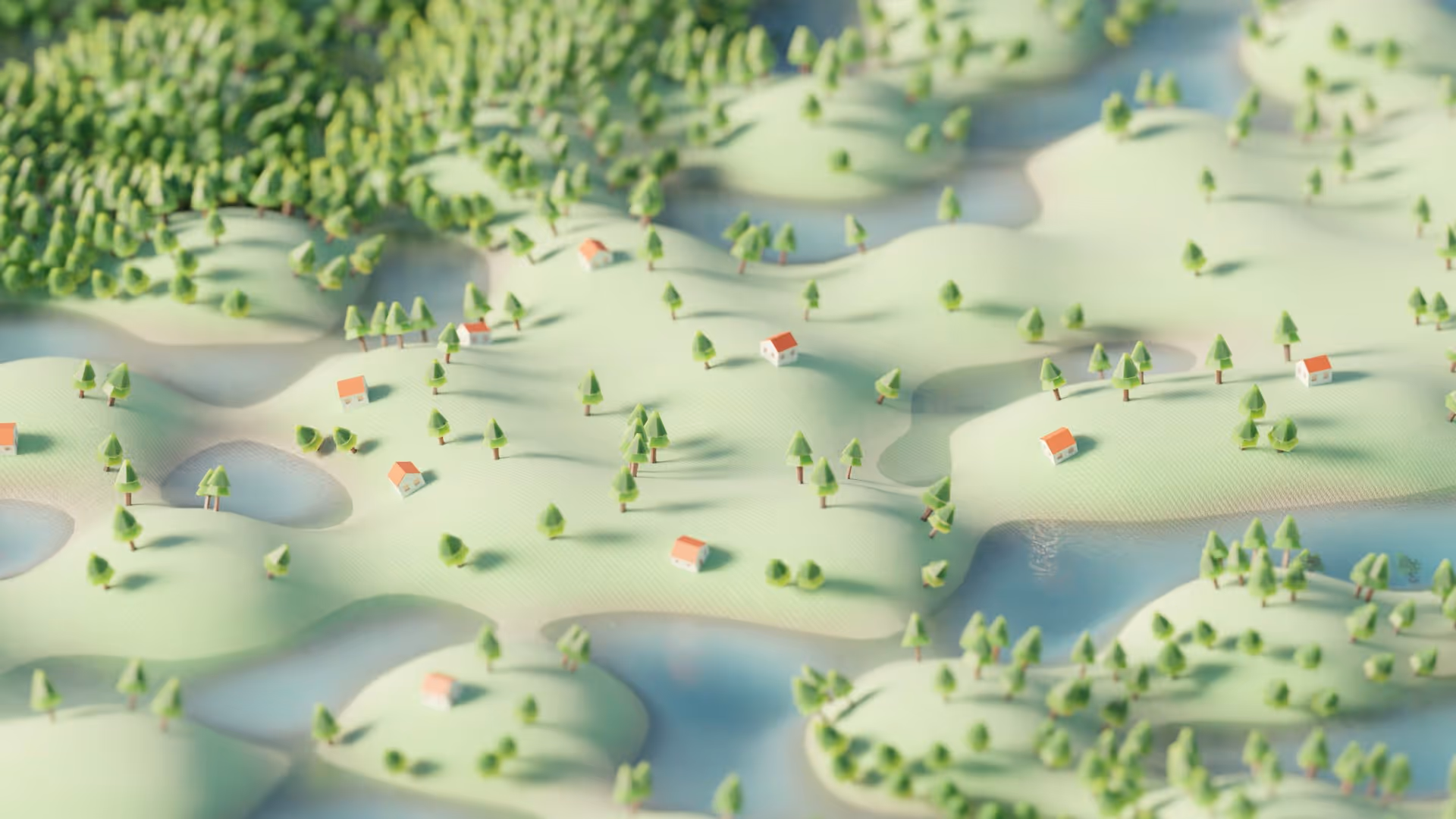
Photogrammetry is widely used and creates jobs in surveying, construction/BIM, environment and drone services.
When making the software decision, Accuracy, scalability, licensing model, and cost-benefit ratio in the foreground. Commercial tools often provide sophisticated calibration and quality reports. Open source solutions can be attractive in research and prototyping, but they don't always deliver the same results as commercial solutions, which depends heavily on the data set and pipeline.
Desktop apps give you greater control over parameters, GCP input, and manual corrections, while cloud services offer easy scaling, automated hosting, and collaboration. Note: Results and performance may differ between cloud and desktop processing. For accurate survey output, many teams prefer desktop control, for fast deliverables, cloud workflows.
For productive teams, API access (such as Python/REST) and SDK support a must so that processes (Ingestion → Processing → Export) can be automated. Many enterprise products provide Python SDKs or REST APIs to enable photogrammetry in GIS/CAD/BIM pipelines can be integrated.

GPU acceleration and enough RAM are crucial for acceptable turnaround times for dense point clouds and mesh generation. Manufacturers provide minimum and recommended configurations; in practice, fast NVMe SSDs, 32—64 GB+ RAM, and modern GPUs are often the best investment. Although multi-GPU setups have advantages, the scaling effects are limited, so a cost-benefit check is worthwhile.
open source tools allow full insight into algorithms and are cost-effective for research; commercial solutions provide SLA, support, certificates, and often more detailed QC reports. This is relevant for regulatory projects or ISO-compliant processes. For applicants: Knowledge of both worlds (e.g. OpenDroneMap + a commercial tool) increases team usability.
Practical tip for applicants:
When applying documents, make sure that specific projects, software used, automations (API/scripts) and hardware configuration This shows operational maturity and creates trust in the application process.
Practical recording skills, georeferencing (GCP/RTK), QA/QC, and failure analysis are core skills for photogrammetry jobs. This includes correctly planned flight/recording patterns, control of tie points/residuals, and the ability to identify and fix sources of error (e.g. poor overlap, motion blur). Job advertisements and career guides list remote sensing, GPS/GNSS, DEM/DTM work, and quality control as frequently required skills.
Successful applicants mention specific software experience (e.g. Pix4D, Agisoft Metashape, DroneDeploy, webODM) and GIS/BIM tools (ArcGIS, QGIS, AutoCAD, Revit) In addition, employers expect practical knowledge with UAS workflows (flight planning, camera calibration), GNSS/RTK setups and, ideally, scripting (Python, batch job automation).
A lean portfolio with specific deliverables (orthomosaic, point cloud, DTM/DSM), GCP reports and short project case studies has a much stronger effect than just keywords. Add information on: GSD, position/target accuracy (residuals) achieved, software used, and if available, UAS certificates. In Europe, by the way, there are also drone pilot-Competence certificates relevant.
Why that's important: Clean processes prevent rework, ensure accuracy and increase the acceptance of your deliverables by clients and authorities.
Reproducible mission planning reduces sources of error.
Good GCP distribution is often more important than pure GCP count.
Metrological evidence (residuals, RMSE) is the core of the QA report.
Templates and batch jobs save time and reduce errors.
Privacy and legal requirements are relevant to the project.
Anyone who wants to use photogrammetry successfully combines suitable software with clean recording planning, reliable georeferencing and consistent QA/QC. This creates outputs (orthophoto, point cloud, DSM/DTM) that are convincing in surveying, construction/BIM, environment or cultural heritage — and strengthen your profile in the application process.
Are you currently looking for a suitable job as Photogrammetry specialist/remote sensing professional? Then take a look at the current job offers GoGeoGo!
Which photogrammetry software is suitable for beginners vs. professionals?
Start with clear criteria instead of brand lists: required accuracy (RMSE goals), data volume/team size, licensing model (purchase/subscription), integrations (GIS/CAD/BIM, Python API) and IT requirements. Beginners benefit from guided workflows and tutorials; professionals need detailed control (GCP handling, exports, batch/CLI). Review test records, QC reports, and export formats (GeoTIFF, LAS/LAZ, OBJ) before making a decision.
Which hardware is useful?
Practical framework: modern multi-core CPU, 32-64 GB RAM, NVMe SSD, dedicated GPU (e.g. ≥8-12 GB VRAM; more for large data sets). Make sure you have fast storage IO and enough free space for intermediate files. Upgrade strategy: SSD & RAM first, then GPU. For teams with peaks, cloud processing is worthwhile as a supplement, but include data security and costs per project.
How do I build a compelling portfolio?
Show results and quality at the same time: orthomosaic, point cloud and DSM/DTM with GSD, GCP layout, residual/RMSE, coordinate system (EPSG) and clear work steps. Add before/after comparisons, volume or area calculations, and short lessons learned. Bonus: Script excerpts (batch/API), checklists and, if available, UAS competency certificates. Keep projects reproducible (parameters, versions, dates).
Sign up for new jobs
+500 new subscribers


.avif)

150+ employers advertise here since 2022

.avif)


Receive geojobs regularly.