+500 new subscribers
Looking for Jobs?
By signing up, you agree to our privacy policies you can find on our website.
Perfect! We'll keep you up to date about current jobs from now on!
Oops! That didn't work out.
+500 new subscribers


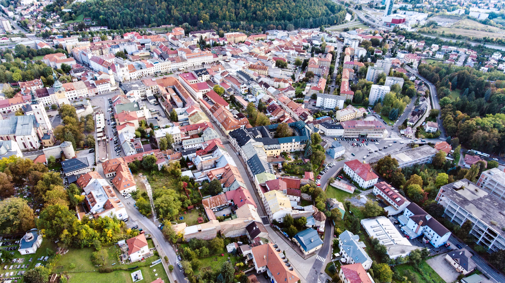
The collection and use of geographical data by companies, authorities and private individuals is referred to as working with and on geodata. This includes the analysis of geographical information as well as its interpretation and application. Geodata is used to identify and map geographical features, analyze relationships and trends, and create 3D representations of the country. More information about what geodata is is available here.
Using geospatial data is becoming increasingly important as companies look for ways to increase efficiency, better target their customers, and get the most out of their investments. With recent advancements in technology, more and more companies are using the power of geodata to gain valuable insights and make better decisions.
As geodata becomes ubiquitous, more employment opportunities are also being created. Companies are looking for qualified specialists who can use geodata to their advantage. Let's take a look at some of the most popular geospatial jobs.
Geodata analysts are responsible for collecting, analyzing, and interpreting geographical data. They use geographical information systems (GIS) to process and analyze geographical data. They are also responsible for preparing presentations and reports based on their analyses.
Geodata analysts are in high demand because they have a unique combination of technical and analytical skills. Organizations often rely on them to make better decisions by providing data-driven insights.
GIS developers are responsible for designing, developing, and deploying GIS applications. They are the ones that create the interface between users and geodata. They build custom applications that help users visualize and interact with the data.
GIS developers must have good programming skills and knowledge of geodata standards and concepts. They also need to be able to troubleshoot issues and work closely with users to ensure their applications work as expected.
Geodata analysts are responsible for collecting, cleaning, and analyzing geodata. They use GIS software to visualize and analyze data, and use their knowledge of the data to make recommendations. They must be able to interpret the data and present it in an understandable form.
Geospatial analysts often work closely with other professionals, such as geospatial analysts and GIS developers, to ensure that the data is accurate and up to date. They also help organizations make data-driven decisions by providing insights and recommendations.
Geospatial engineers are responsible for designing, implementing, and maintaining geospatial systems. They use their technical knowledge to develop solutions that help organizations optimize their use of geodata.
Geodata engineers must be able to integrate GIS systems with other applications, such as web-based mapping and image processing systems. They must also be able to troubleshoot and diagnose issues with existing systems.
Geodata scientists use their knowledge of data science and analysis to identify trends and relationships in geodata. They often work with data from various sources, such as satellites and aerial photographs, to develop sophisticated models and algorithms.
Geodata scientists are in high demand due to their ability to gain valuable insights from geodata. Organizations rely on them to identify patterns, trends, and relationships that can be used to make better decisions.
If you want
Geodata is becoming increasingly important for companies, governments and private individuals all over the world. As the demand for qualified specialists in the field of geodata continues to rise, more and more job opportunities are being created. From geodata analysts and GIS developers to geodata analysts and geodata engineers, there are plenty of opportunities for those with the right skills and knowledge.
To fully exploit the potential of geodata, professionals must invest in continuing education and keep up to date with the latest advances in this area. Those who are best prepared are most likely to benefit from the growing demand for geospatial experts.
If you want
Sign up for new jobs
+500 new subscribers


.avif)


150+ employers advertise here since 2022

.avif)


Receive geojobs regularly.