+500 new subscribers
Looking for Jobs?
By signing up, you agree to our privacy policies you can find on our website.
Perfect! We'll keep you up to date about current jobs from now on!
Oops! That didn't work out.
+500 new subscribers


Want to know quickly what GIS professionals earn in Germany? Here are the key figures:
Bottom line: As a GIS specialist in Germany, you earn an above-average salary, especially with Python skills and ArcGIS or GIS softwareexpertise. Demand is high, and the shortage of skilled workers works in your favor—use that in salary negotiations! Also in many Geoinformatics Jobs GIS skills are in high demand.
Your salary as a GIS specialist increases significantly with every year of professional experience. The following overview shows what you can expect at each career stage:
Entry-level (0-2 years): €48,000 - €55,600/year | €4,000 - €4,630/month | €23 - €27/hour
Junior Professional (3-5 years): €55,000 - €65,000/year | €4,580 - €5,420/month | €27 - €31/hour
Professional (5-10 years): €60,000 - €75,000/year | €5,000 - €6,250/month | €29 - €36/hour
Senior Professional (10+ years): €70,000 - €85,000+/year | €5,830 - €7,080+/month | €34 - €41+/hour
As a recent bachelor's or master's graduate after a geoinformatics degree or a related field of study, your starting salary averages €55,600 per year. This corresponds to approximately €4,630 gross per month.
Factors that influence your starting salary:
After 3-5 years of professional experience, your salary rises to an average of €60,000-€65,000. During this phase, you have developed from a junior to a fully-fledged professional and often take on your first project responsibilities.
With 5-10 years of experience, you can expect €70,000-€75,000 – especially if you have specialized in high-demand areas such as cloud GIS, Python automation, or AI-supported geospatial analysis .
As a senior GIS specialist with over 10 years of experience, you can expect a salary in the range of €70,000 to €85,000+. If you take on leadership responsibilities as a GIS manager or GIS team lead, €90,000+ is also realistic.
Germany shows significant regional differences in GIS salaries. Here is the complete overview by federal state:
Regional differences in GIS salaries are significant. Brandenburg leads the way with €70,400 (+19% above average), followed by Baden-Württemberg with €64,400 (+9%) and Bavaria with €60,200 (+2%). Berlin and Hesse follow with around €59,000 each, while Hamburg at €57,000 and North Rhine-Westphalia at €56,000 are slightly below the national average. Rhineland-Palatinate (€55,000), Saxony (€54,200), and Lower Saxony (€54,000) make up the mid-range.
The traditional East-West salary gap barely exists in the GIS sector anymore. Brandenburg actually tops the salary table – a sign that regions with weaker economic structures are actively using higher salaries to attract specialists. Nevertheless: Western German cities like Munich, Frankfurt, and Stuttgart tend to pay more than small towns in the East. But be careful: the cost of living there is also significantly higher!
Brandenburg benefits from several factors:
The city where you work has a massive impact on your salary. Here are the current top cities for GIS professionals:
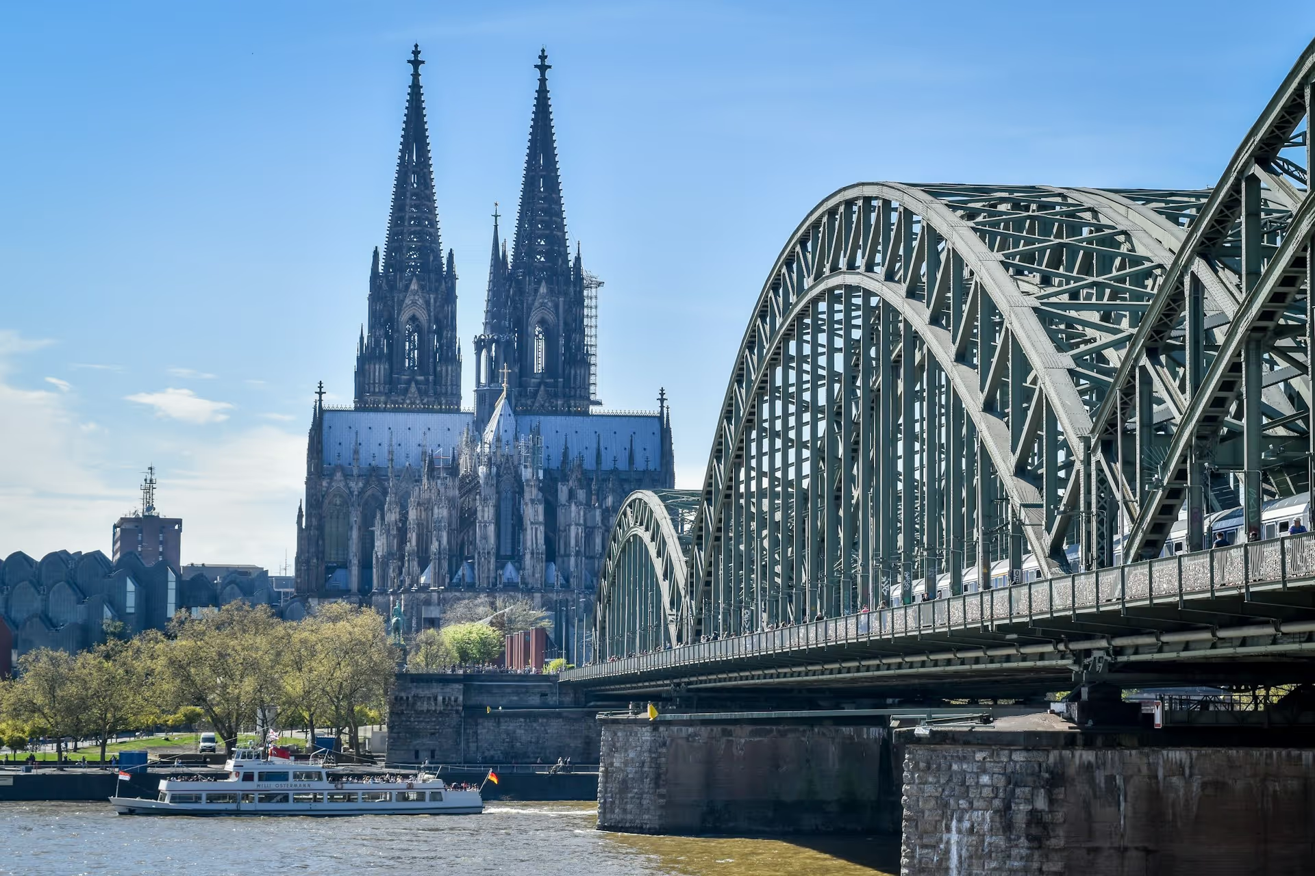
Mannheim leads the city ranking by a significant margin at €66,700. Major hubs like Munich (€62,000), Cologne (€61,800), Stuttgart (€61,000), and Frankfurt (€60,500) also pay above-average salaries, though the cost of living there is very high. Berlin sits in the solid middle at €59,300, followed by Hamburg (€57,000) and Düsseldorf (€56,500). Mid-sized cities like Nuremberg (€55,000) and Bremen (€54,500) offer attractive salaries with moderate living costs. Eastern German hubs like Leipzig (€54,000) and Dresden (€53,500) may have lower gross salaries, but often provide more disposable income due to significantly cheaper rent. Hanover (€53,000), Dortmund (€52,500), and Essen (€52,000) round out the ranking.
Munich pays an average of €62,000 which is very good, but rent eats up a large portion of that. A 60m² apartment in Munich easily costs €1,800 including utilities, while in Leipzig it is only €800. Our tip: Calculate your net salary after deducting living expenses. You will often have more left over in Leipzig or Dresden than in Munich! Looking for specific jobs in these cities? Check out our current GIS jobs in Munich, GIS Jobs in Berlin or GIS Jobs in Hamburg now!
Your job title makes a huge difference. Here is a salary comparison of the most important GIS roles:
A GIS Analyst role is often the entry-level position after graduation. You work with existing data and perform analyses, but you are not yet developing complex systems.
As a GIS Developer you sit at the intersection of IT and geoinformatics. You program custom tools and automate workflows. Python skills are worth their weight in gold here – they can boost your salary by 10-20%! Related skills, e.g., in photogrammetry software are also in demand.
As a GIS Manager you are responsible for personnel and coordinate GIS projects. Your work is more strategic and less operational.
As a GIS Consultant you advise companies and government agencies on the implementation and optimization of GIS systems. Many consultants also work as freelancers – with significantly higher daily rates!
One of the most important questions for GIS professionals: Should you work for the government or in the private sector? Both paths have their pros and cons.
In the public sector, you are paid according to the TVöD (Collective Agreement for the Public Service). Classification is based on qualifications and scope of duties:
E9b - E10: GIS Technician (Vocational training)
E11 - E12: Geoinformatics Specialist (Bachelor's degree)
E13: GIS Specialist (Master's degree)
E14 - E15: GIS Team Lead, Project Manager
TVöD benefits:
TVöD drawbacks:
Salaries are higher in the private sector, but so are the demands:
IT/Software
Consulting
Energy/Utilities
Engineering firms
Research
Advantages of the private sector:
Disadvantages of the private sector:
Many GIS professionals start in the private sector and move to the public sector later on – a smart strategy to earn money first and enjoy security later!
The industry you work in makes a huge difference. Here is an overview:
1. Energy & Water
2. Consulting/IT
3. Banking/Insurance
4. Industry/Mechanical Engineering
5. Science/Research
6. Public Administration
7. Engineering Firms
8. NGOs/Nature Conservation
The energy sector is currently the top payer for GIS professionals. Reasons:
Typical employers: grid operators, municipal utilities, energy suppliers (E.ON, EnBW, regional utilities).
In consulting you earn well, but you also have to deliver. Project work at the client's site, frequent travel, and overtime are typical. In return, there are often attractive bonuses and rapid career advancement opportunities.
Those who work in nature conservation or for NGOs earn the least. In return, you work on meaningful projects such as species conservation, climate research, or environmental monitoring. Many GIS professionals consciously accept a lower salary to "do something good."
.avif)
Some employers are known for offering above-average salaries. Here is a selection:
Esri Deutschland GmbH
con terra GmbH
Federal Agency for Cartography and Geodesy (BKG)
State Surveying Offices (e.g., the LGLN in Lower Saxony, the LGB in Brandenburg)
Grote + Partner
Find more exciting employers on our GIS Jobs page!
The question on many GIS professionals' minds: Do I earn less if I work from home?
Good news: In the GIS industry, there is no systematic remote pay cut. Most employers pay the same salary regardless of whether you work from the office or from home.
But be careful:
Most GIS jobs in Germany are hybrid: 2-3 days working from home, 2-3 days in the office. This offers:
Our tip: Negotiate a hybrid model with at least 50% remote work – this is now standard and should not lead to a salary reduction!
You now know what you should be earning. But how do you put that into practice during salary negotiations? Here are our proven strategies:
When starting a new job
After 1-2 years
When changing jobs
Upon promotion
Annual performance review
Rule of thumb for salary increases:
For new hires:
1. Skills shortage
"Demand for GIS specialists with Python skills is currently extremely high. According to recent studies, there are over 2,000 open GIS positions in Germany, but not enough qualified applicants."
2. Additional qualifications
"I have spent the last few months intensively training in Cloud GIS and ArcGIS Online and can now implement these technologies independently. This saves you external consultant costs of €1,000+ per day."
3. Market value
"According to current salary studies, the average salary for GIS developers with my experience is €65,000. I am currently €8,000 below that."
4. Concrete achievements
"The Python automation I developed saves our team 15 hours per week – which corresponds to a value of approximately €40,000 per year."
❌ "I need more money because..." (Your personal expenses are irrelevant)❌ Threatening to quit (unless you actually have another job offer)❌ Comparing yourself to colleagues ("Max earns more than I do!")❌ Giving in too early ("Okay, then just 2%...")
More and more GIS specialists are taking the leap into self-employment. The earning potential is significantly higher than in a permanent position—but so are the risks.
Junior (1-3 years)
Medior (3-7 years)
Senior (7+ years)
Expert (Specialist)
Important: These are gross revenues, not your net profit! You must deduct:
Rule of thumb: From a €100 hourly rate, you are left with about €35-€45 as disposable income.
Python automation & GIS development
Cloud GIS & WebGIS
Remote sensing & AI
GIS consulting for government agencies
Example calculation for a senior GIS developer:
Full-time employment
Freelancer (€120/h, 1,200h/year)
Conclusion: As a successful freelancer, you earn about 40-50% more than in a permanent position – but you also have to take on more personal responsibility.
1. Choose a specializationFocus on a profitable niche (Python, WebGIS, remote sensing). Generalists have a harder time.
2. Build a portfolioCreate GitHub repositories with sample projects. Employers want to see what you can do.
3. Use your networkYour first projects usually come from your professional circle. Talk to former colleagues and clients.
4. Use platforms
5. Calculate correctlyYour daily rate should be at least 3x higher than your previous daily wage as an employee. Otherwise, it's not worth it!
The GIS job market is in flux. These trends will influence your salary in the coming years:
Situation: There are over 2,000 open GIS positionsin Germany, but not enough qualified professionals. Developers with Python skills are in particularly high demand.
Impact on salary: +5-10% over the next 2 years, especially for developers and specialists.
Trend: Companies increasingly expect GIS professionals to be able to code. Python is the most important language for this.
Salary impact: GIS professionals with Python skills earn 10-20% more than those without programming knowledge.
Our recommendation: Invest in online courses for Python for GIS (e.g., Coursera, Udemy). It pays off quickly!
Trend: More and more companies are migrating their GIS systems to the cloud (ArcGIS Online, AWS, Azure).
Salary impact: Experts in Cloud GIS are in extremely high demand and can 15-25% more earn.
Trend: Machine learning and AI are being used for image classification, object detection, and predictive analytics.
Salary impact: Specialists in AI + GIS are in extremely short supply and earn top salaries of €80,000+.
Trend: The energy transition and climate protection are driving demand for GIS expertise in the fields of renewable energy, environmental monitoring, and climate modeling.
Impact on salary: Jobs in the energy sector currently offer the best salaries (see industry comparison above).
A high salary is pointless if rent eats it all up. Here is the real comparison:
Munich
Stuttgart
Frankfurt
Berlin
Hamburg
Leipzig
Dresden
Surprise: In Leipzig and Dresden you are left with more money at the end of the year than in Munich – despite the higher gross salary there!
Calculation example Munich vs. Leipzig:
These cities offer the best combination of salary, cost of living, and quality of life:
In Munich, the average salary for GIS analysts is €52,000 to €65,000 per year. With 3-5 years of experience, you can expect in Munich €58,000 to €68,000 expect.
Yes! Master's graduates earn an average of €5,000 to €8,000 more per year than bachelor's graduates. The salary difference is particularly noticeable in management positions.
However: A master's degree is especially worthwhile if you want to go into research, senior management, or consulting. For a pure GIS analyst role, a bachelor's degree is often sufficient.
GIS freelancers in Germany earn an average of €800 to €1,200 per day (based on 8 hours). Junior freelancers start at €480 to €640/day, while experts can charge €1,500+ per day.
The average starting salary for geoinformatics specialists is:
At Esri Germany you earn €60,000 to €80,000as a GIS developer, compared to €50,000 to €65,000in the public sector (E11-E13) . The salary difference is €10,000 to €15,000
in favor of Esri. However:
6. How much more do you earn with Python skills? GIS professionals with Python skills earn than without programming skills. Specifically: instead of €55,000, with good Python skills you get €60,000 to €66,000.
In high demand: ArcPy, QGIS Python API, geospatial data automation
The top 3 cities by gross salary:
But keep in mind: After deducting the cost of living, you are often left with more in Leipzig or Dresden!
GIS managers with personnel responsibility earn €70,000 to €90,000 per year in Germany. In large corporations or major municipal utilities, €95,000+ possible.
The 3 most important tips:
Find out more in our "Salary Negotiation" chapter above!
Yes, as a rule, you earn 10-30% more in the private sector than in the public sector. In return, the public sector offers better job security, 30 days of vacation, and a strong company pension.
You'll see the biggest salary jumps in your first 10 years!
GIS developers with cloud skills (AWS, Azure, ArcGIS Online) earn 15-25% more than those without cloud expertise. Specifically: €65,000 to €85,000 instead of €55,000 to €70,000.
Cloud GIS is one of the most in-demand skills in the GIS field!
Now you know what you can and should be earning as a GIS professional. Here are your action steps:
✅ Check your market value: Compare your current salary with the figures in this guide✅ Identify skills gaps: Missing Python? Cloud GIS? Machine learning?✅ Prepare for salary negotiations: Use our tips for your next performance review✅ Explore the job market: Check out current job openings to determine your market value
✅ Start professional development: Invest in in-demand skills (Python, cloud, AI)✅ Expand your network: Optimize your LinkedIn profile, use XING, and attend GIS meetups✅ Build your portfolio: GitHub projects, open-source contributions✅ Consider changing jobs: Often the fastest way to a 15-30% salary increase
✅ Choose a specialization: Become an expert in an in-demand field (cloud GIS, AI, remote sensing)✅ Take on leadership responsibilities: Team Lead, Project Manager, GIS Manager✅ Test out freelancing: Start as a side hustle, then go full-time if it works out✅ Consider relocating: Sometimes moving to a city with better salaries pays off
Looking to boost your salary? The best way is often to change jobs! On GoGeoGo you will find the best GIS job openings in Germany, Austria, and Switzerland.
Discover hundreds of job openings from top employers:
Looking for qualified GIS professionals? Reach the best candidates in the geo-industry!
Your benefits:
This guide is based on comprehensive research and data analysis from the following sources:
All salary data are gross annual salaries for full-time employment (40h/week), unless otherwise stated.
Sign up for new jobs
+500 new subscribers


.avif)


150+ employers advertise here since 2022

.avif)


-Logo.wine.avif)


Receive geojobs regularly.